openLayers绘制多边形、获取视图中心点
- 前言
- 效果图
- 1、导入LineString
- 2、创建添加多边形
- 3、定义多变形样式
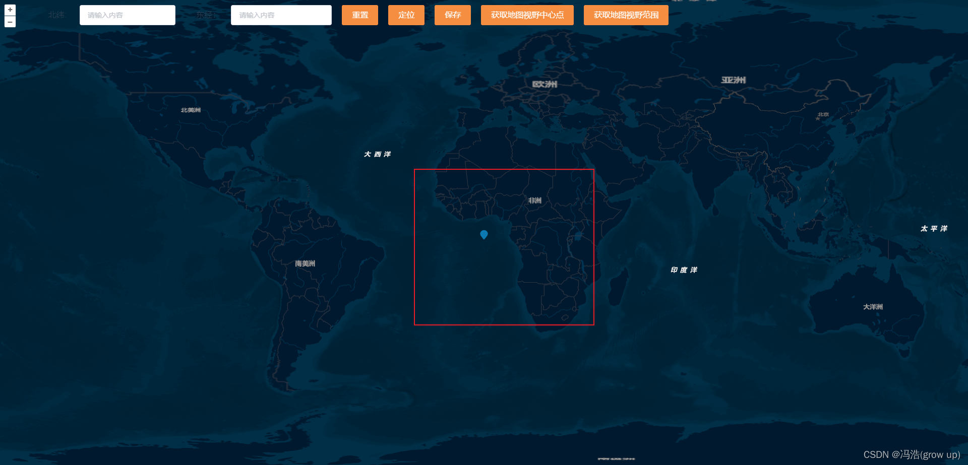
- 4、获取当前视图的中心点
- 5、获取当前视图等级
- 6、设置地图等级
前言
上一篇文章在vue项目中绘制了openlayers绘制了地图和标记点,本篇文章讲解openlayers绘制多边形
通过LineString来进行绘制、获取视图的中心位置、获取当前地图等级、设置地图等级
openLayers演示网址
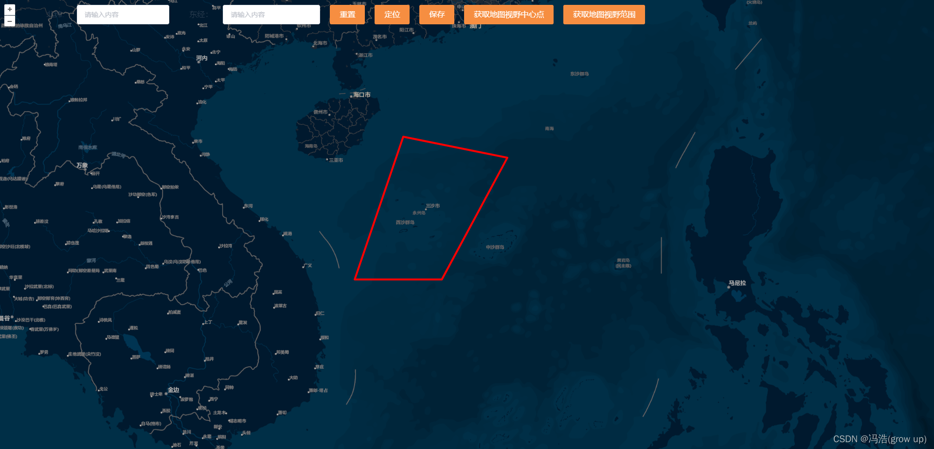
效果图
1、导入LineString
import { Point, LineString } from “ol/geom”;
2、创建添加多边形
// 添加多边形addExtent (extent) {if (this.vectorSource) {// this.vectorSource.clear()} else {//矢量标注的数据源this.vectorSource = new VectorSource({features: []})// //矢量标注图层this.vectorLayer = new VectorLayer({source: this.vectorSource});this.map.addLayer(this.vectorLayer);}// // 创建要素,设置其样式var newPolygon = new Feature({geometry: new LineString([[110.3014, 14.82],[112.79, 14.82],[114.6636, 18.2977],[111.687, 18.897],[110.3014, 14.82],])});newPolygon.setStyle(this.createfeature(newPolygon));this.vectorSource.addFeature(newPolygon);},3、定义多变形样式
// 定义多边形createfeature () {return new Style({fill: new Fill({color: 'rgba(1, 210, 241, 0.2)'}),stroke: new Stroke({color: 'rgba(255, 0, 0)',width: 4,}),})},4、获取当前视图的中心点
// 获取范围getExtent () {const size = this.map.getSize();const extent = this.map.getView().calculateExtent(size);return extent},// 获取地图视野中心点getCenter () {const center = getCenter(this.getExtent())this.addVectorLabel(center)},
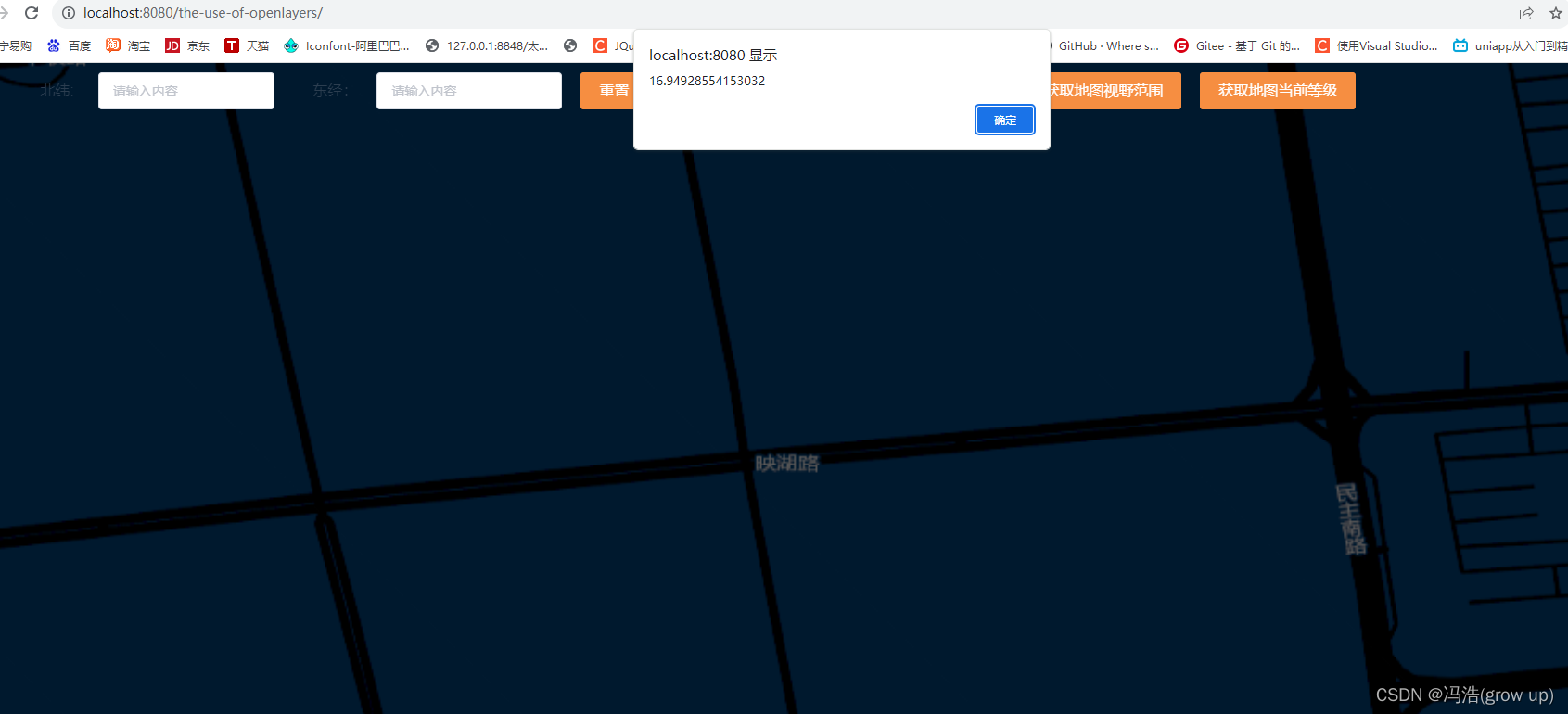
5、获取当前视图等级
// 获取当前的视图等级getZoom(){alert(this.map.getView().getZoom());}
6、设置地图等级
// 设置当前缩放等级setZoom(){this.map.getView().setZoom(10);}


